It looks like the weather? It is the weather.
[For a full explanation, see David B. Sparks; via Cantankerous Buddha]
It looks like the weather? It is the weather.
[For a full explanation, see David B. Sparks; via Cantankerous Buddha]
It’s that time of the decade again. The census is done and now the data is starting to flow. It’s free candy for reporters [Detroit -25%] and, since it’s 2011, you are going to see this data like never before. Of course, it takes time to get through it all, but the New York Times is offering some 2005-2009 data while you wait…
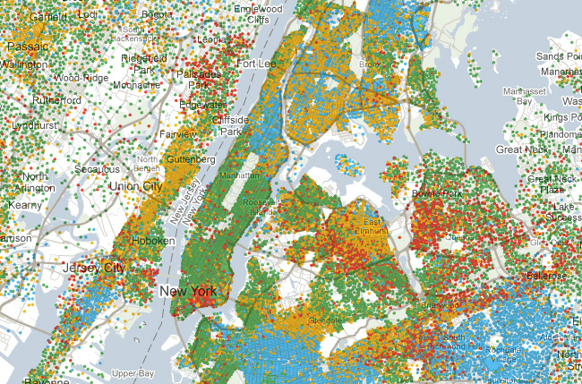 (click to launch NYT’s Mapping America: Every City, Every Block)
And in case you’d like to check out some of the data yourself, the U.S. Census Bureau has rolled out FactFinder2:
 |
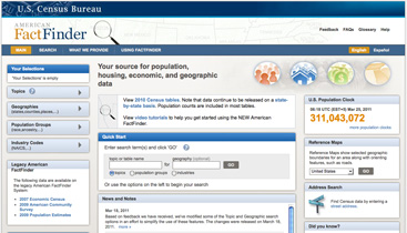 |
While definitely easier on the eyes and more technically sophisticated, the sugarcoating is skin deep as FactFinder2 is also sort of confusing, if not discouraging, to use. ACM recommends a deep breath before going in.
[NYT’s Mapping America: Every City, Every Block; FactFinder2; FactFinder1]
Did you hear the one about the German politician who sued the phone company to see how much they knew about him? Turns out his cell phone recorded his location 35,000 times over 6 months. That’s once every 7.5 minutes. In response, he released the data, and Zeit Online has mapped it out:
![]() (click and then press play to live the life of Malte Spitz)
(click and then press play to live the life of Malte Spitz)
Technically, this information is part of the service. Most days you get pissed if your phone doesn’t know where you are. The funny part is that they aren’t willing to admit they have this level of information and are storing it. It makes for a pretty sketchy lead-in to considering what else they might be doing with it.
[Zeit Online via Gawker]A snap from the latest readings…
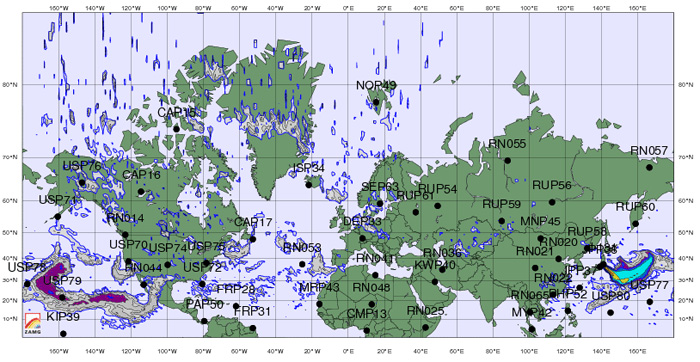 See the movement of radiation from Japan in a two-part animation from ZAMG:
March 12-19, March 20-Present
[via Zero Hedge, who also has a collection of crowdsourced radiation tracking sites worth a look.]
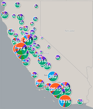
Wondering what’s being done to get California out of the hole?
Here’s some extremely detailed maps to lay it all out for you:
 |
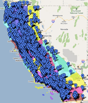 |
| by County/City | by Congressional District |
[from recovery.ca.gov]
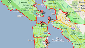
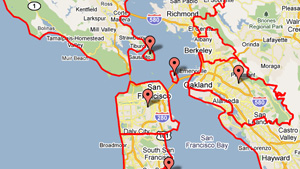
It’s easy to cross the line when you know where they all are…
 |
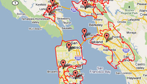 |
| County Boundary Map | City/Town Boundary Map |
 |
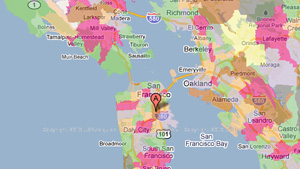 |
| 3 Digit Zip Code Boundary Map | Zip Code Boundary Map |
[All maps via Maps.Huge.info]
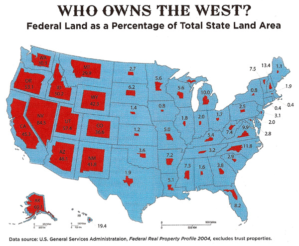
[Stanford Magazine via Big Think]
In his “California Lifestyles 1990” map, Dr. William A. Bowen of the California Geographical Survey used information from 5,855 census tracts to see who was living the dream and who wasn’t, and let’s just say, there’s apparently a lot of room at the bottom of the ladder.
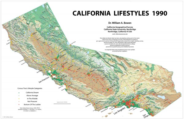 (click to enlarge – large file, but worth the wait)
[via California Geographical Survey (larger version available)]
The maps tell one story. The legends tell another.
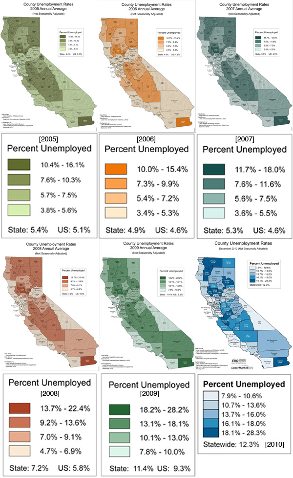
[Dual map by ACM; Original U.S. maps available via U.S. Census Bureau]